A connected edge.
A field of light.
The original LED sticks return. A planted waterfront by day becomes a luminous promenade after dusk—with the working city around it.
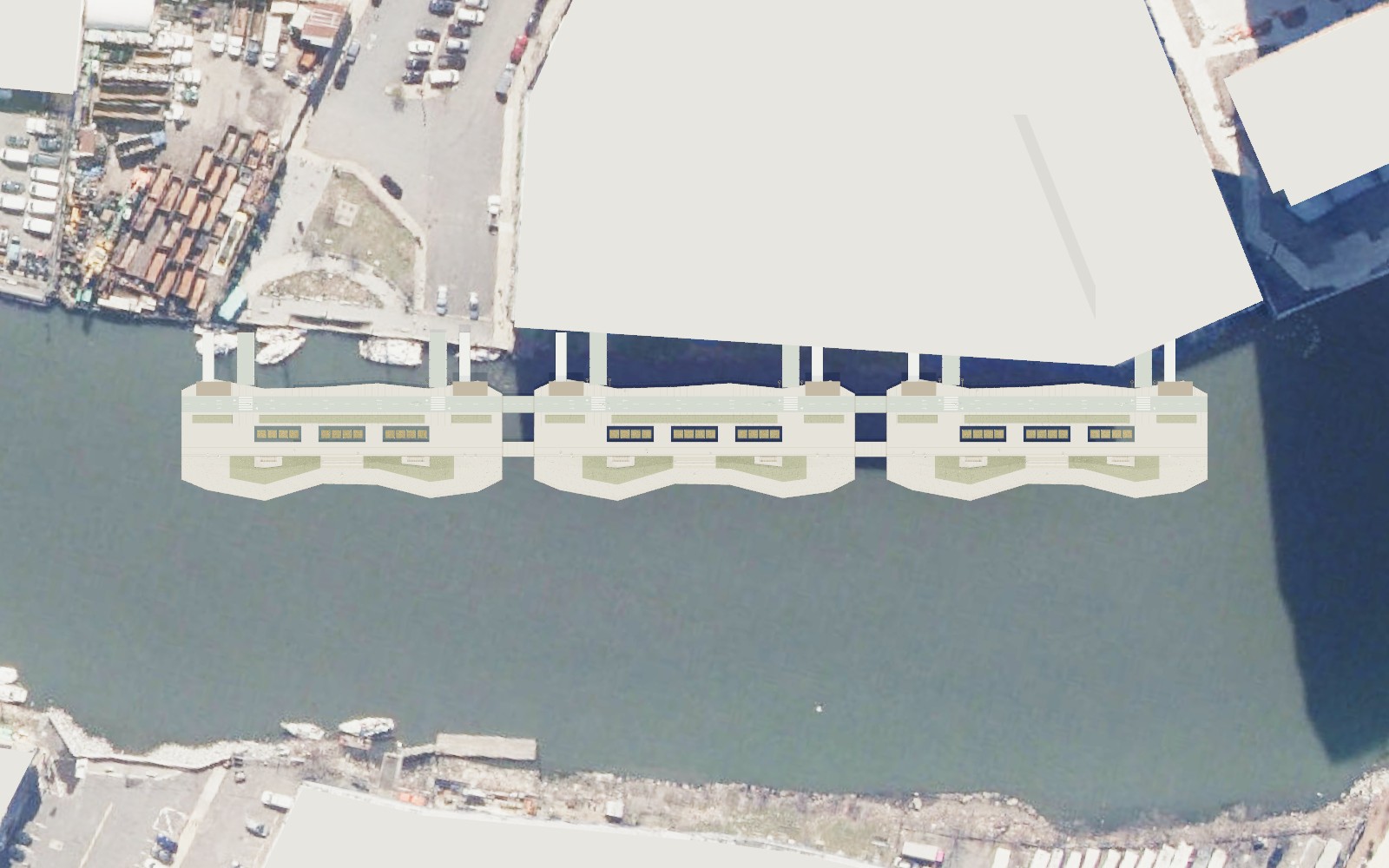
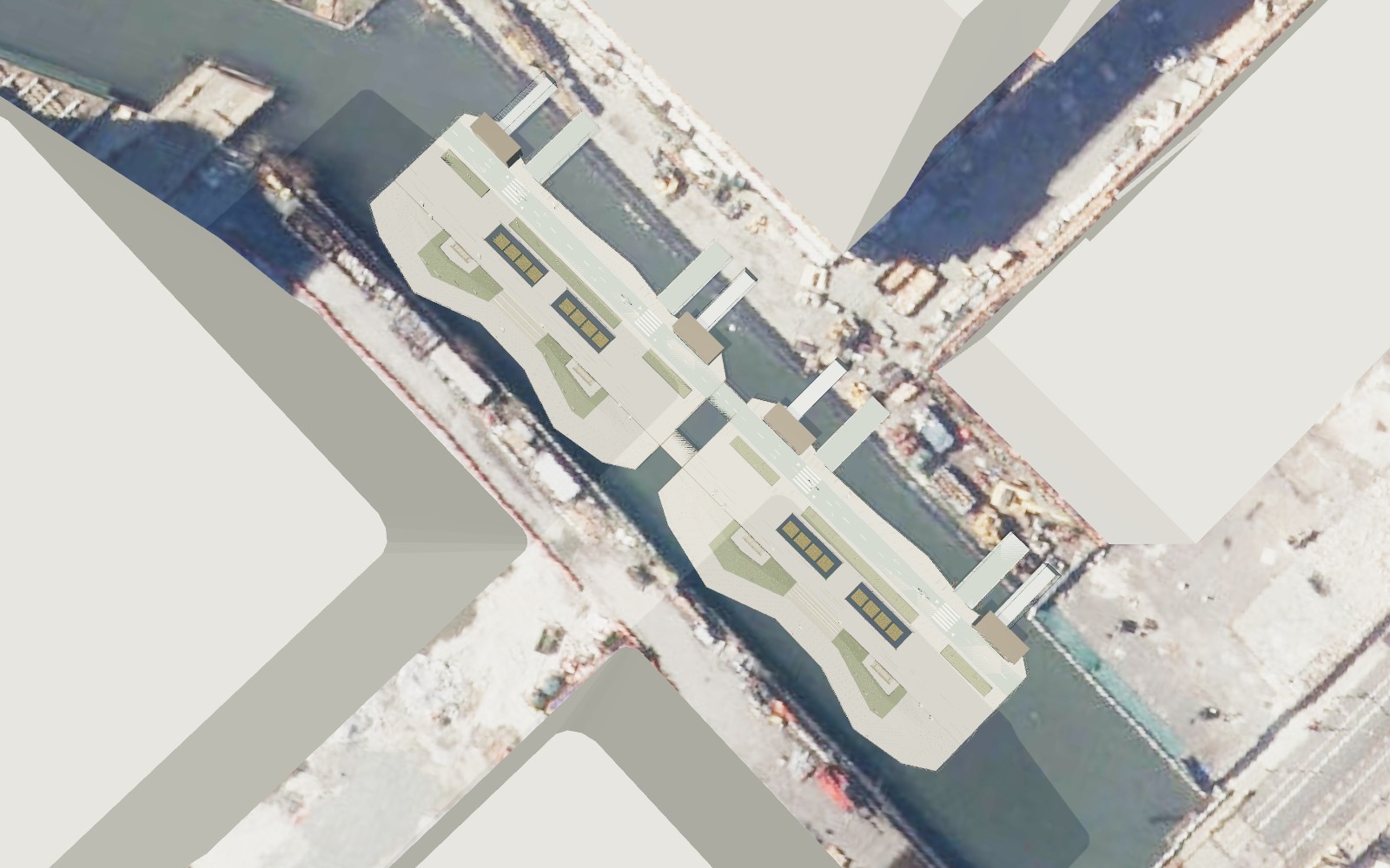
Linked sections at each location test a continuous waterfront route against real New York shorelines. Newtown uses three 60 m sections with 6 m links (192 m overall); Gowanus uses two 48 m sections with a 4 m link (100 m overall). These are architectural studies in mapped context, not selected or approved berths.
Play a day at Newtown Creek ↗Explore the light field ↗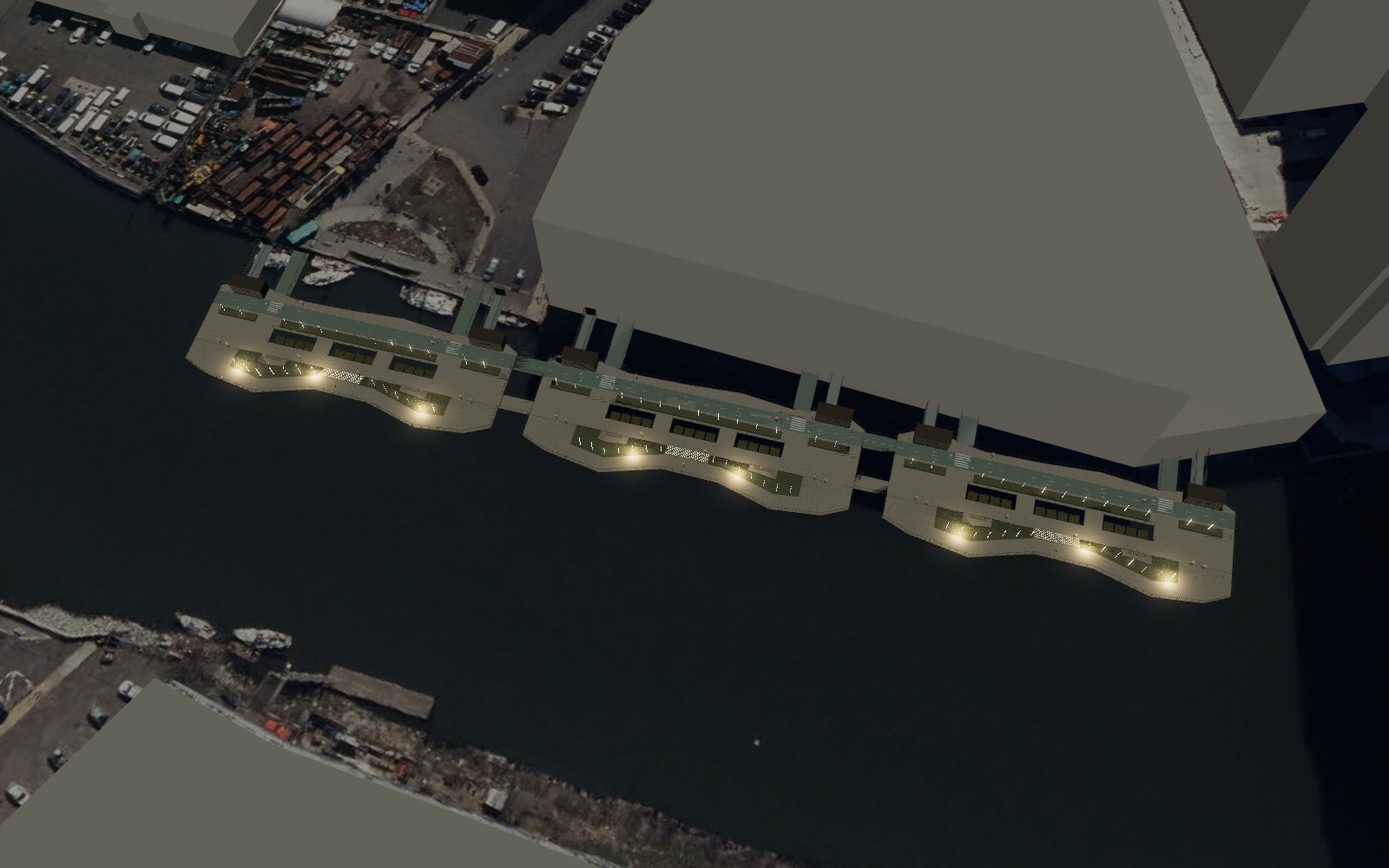
Where does the public waterfront break?
Explore eleven corridors, with current source notes distinguishing planned connections, working waterfronts and places that need a field audit. Start with two real public endpoints before choosing a linked assembly.
Explore the waterfront access map ↗Newtown Creek
Brooklyn shore, immediately west of the Manhattan Avenue street end.
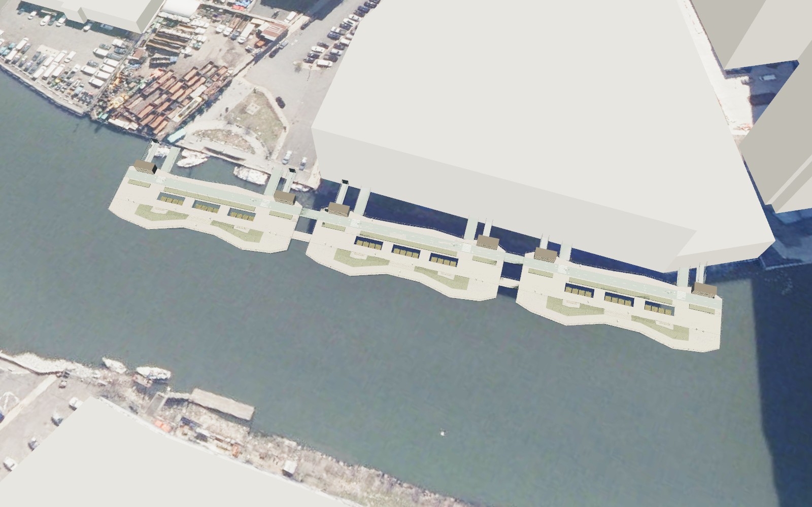
Three sections.
One continuous public route.
The street-end park is a real public access point. This chain extends along the adjacent shoreline. Two pairs of articulated bridges connect the sections: a 3 m cycle route on the landward side and a separate 2.7 m level garden walk. Each section retains its own secured submerged halls. It does not establish a public right across the adjoining properties or a connection to a second public destination.
The next decision is whether an actual host, two public endpoints, navigation clearance and a utility route can coexist here. The wider creek provides more visible room than Gowanus, but usable water space remains to be established.
Orbit Newtown Creek ↗ Walk into the night view ↗ Inspect a connecting joint ↗Read the shoreline in plan
 ↑N
Gowanus Canal
The west bank between Union and Carroll Streets.
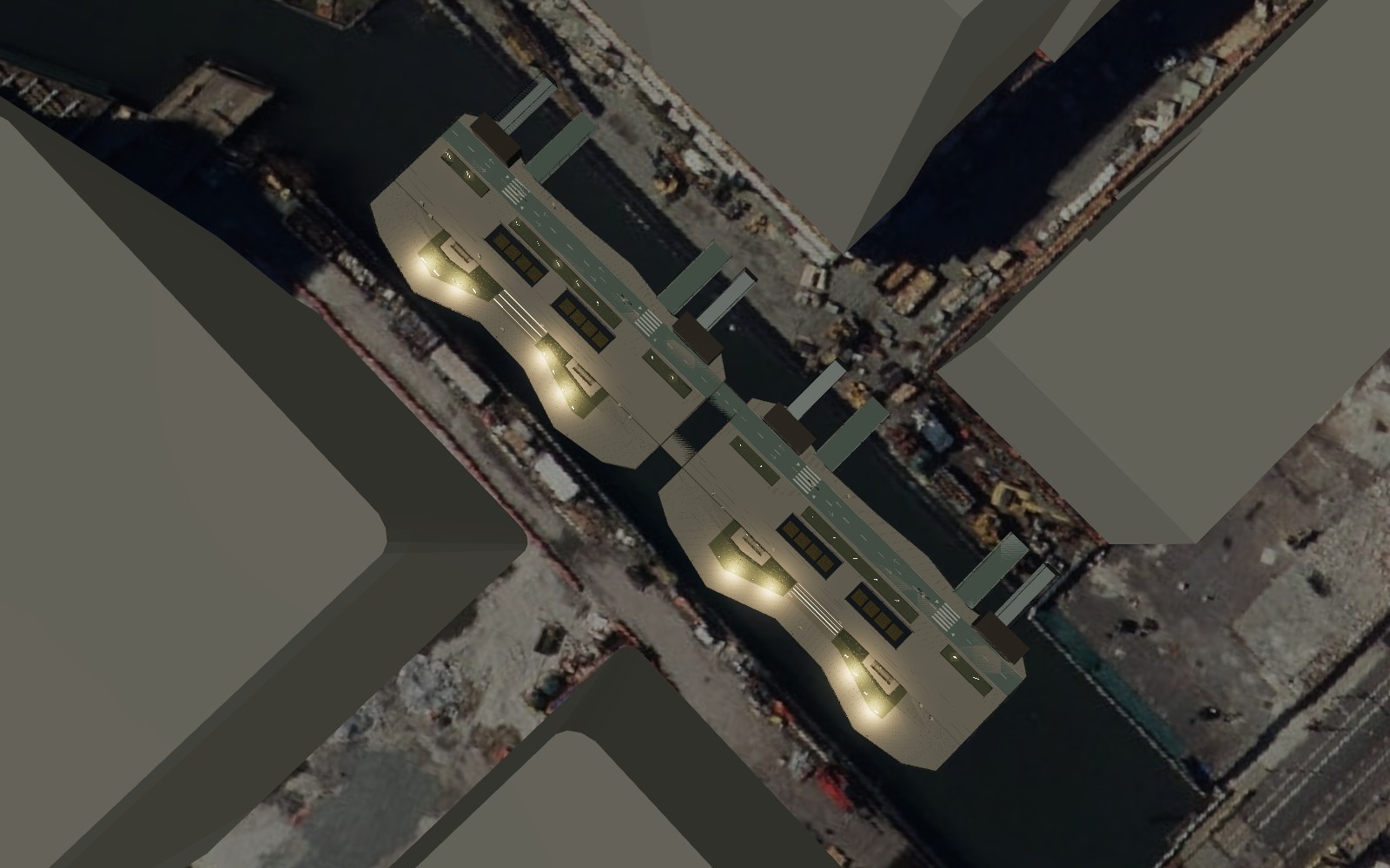
A shorter sequence.
The width remains unresolved.
Two shorter 48 m sections and a 4 m link form a 100 m sequence in the reach between the road bridges. The 23 m-wide section still occupies most of the canal. This view makes the conflict tangible: the next Gowanus iteration should test a substantially narrower or differently arranged module, then assess navigation, bridge operations, remediation access and the public waterfront plan.
The walk-and-cycle ambition remains useful. The current geometry should not be mistaken for a workable canal layout.
Orbit Gowanus ↗ Inspect the width in plan ↗ Inspect a connecting joint ↗Read the channel constraint in plan
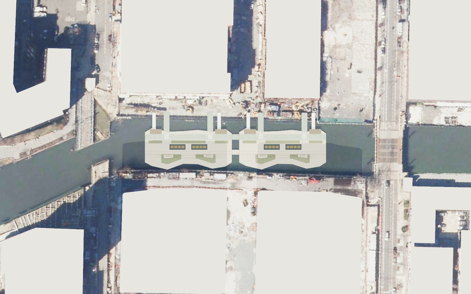 ↑N
Thin by day.
Present after dark.
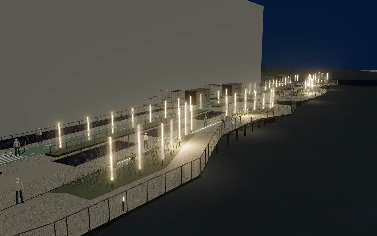
Closely spaced sticks trace the planting. The cycleway, level walk, benches and arrival crossings stay clear. Warm light fades on through dusk; low integrated lights continue to define the steps.
The light field repeats along the linked decks. Use Run pattern for a wave, ripple or breathing rhythm; use Play day or drag the clock for the daily transition. Dawn, noon, dusk and night presets keep the same camera, making the changes easy to compare. The time cycle is an atmosphere study, not a sun-path or illumination calculation.
Play the light-field study ↗ See the 2012 original ↗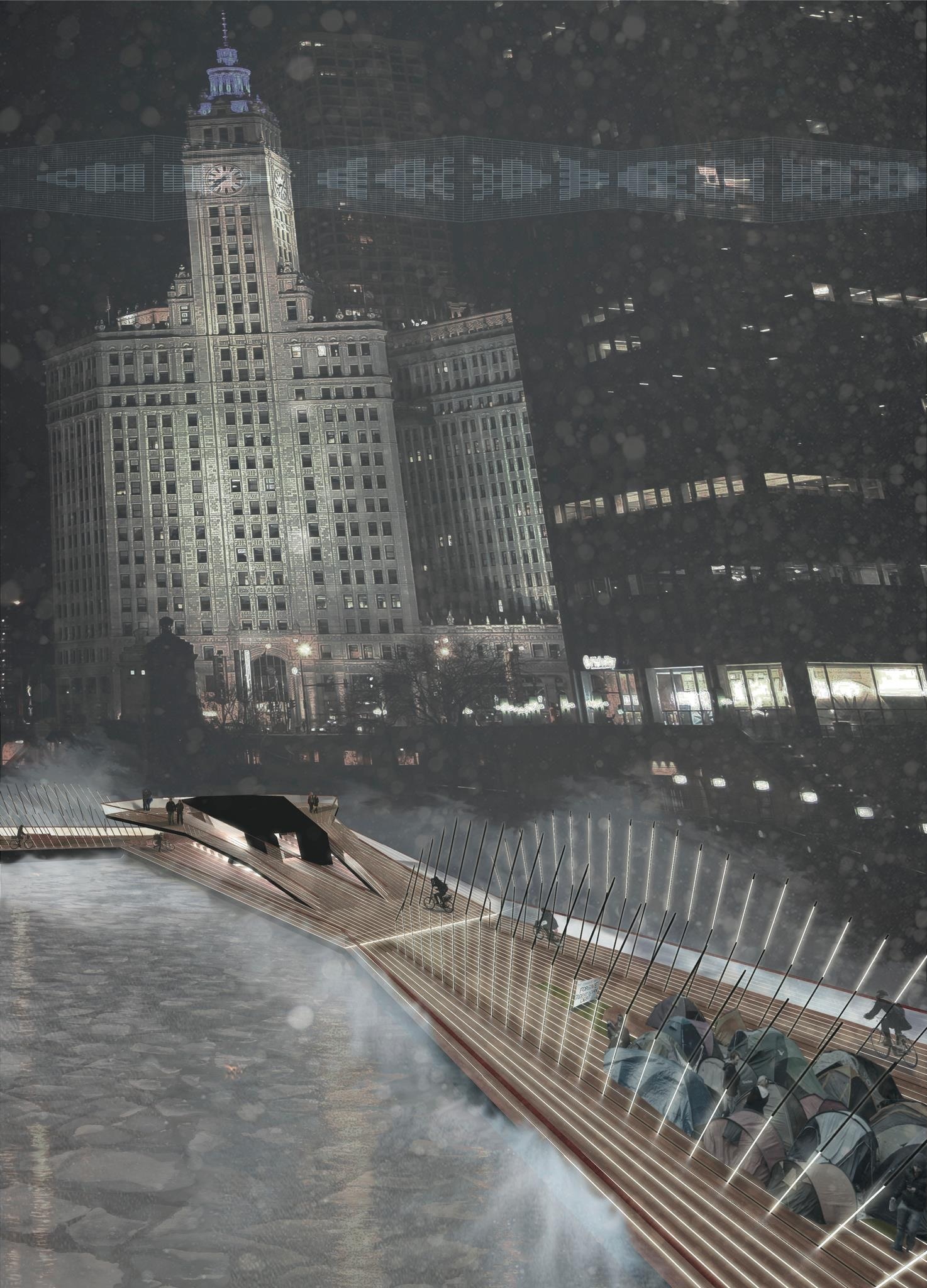
What is real in these views.
The aerial ground comes from NYS ITS Geospatial Services’ mixed 2022–2025 imagery. Building outlines and roof heights come from NYC OTI’s BUILDING dataset. Heights are extruded as simplified masses; facades and stepped roof profiles are not reconstructed. Ground is flattened, not surveyed. The imagery and building records have different dates and may show different stages of construction.
The barge uses the same meter-based architecture as the editable viewer. Its position and orientation are authored hypotheses; no parcel agreement, surveyed landing, dredging depth, utility allocation or public-access right is established. Each section remains 23 m wide in both sites. The connecting bridges meet the level deck routes at +1.50 m; internal end rails open at both routes, while the chain’s outer ends retain guards. Joint movement, marine connections and tidal shore transitions are not engineered. The 3D download includes the linked assembly when a location is selected; the drawing sheet and technical detail views describe one section.
Newtown Creek Alliance’s public-access work informs the street-end discussion. NYC DOT’s Gowanus bridge descriptions and the Gowanus waterfront bridge-connection requirements inform the canal questions. Both waterways remain subject to the cleanup and approval issues documented in the investment case.
Editable scene code and data: source files · Gowanus context · Newtown context. Architectural and lighting performance remain unverified.